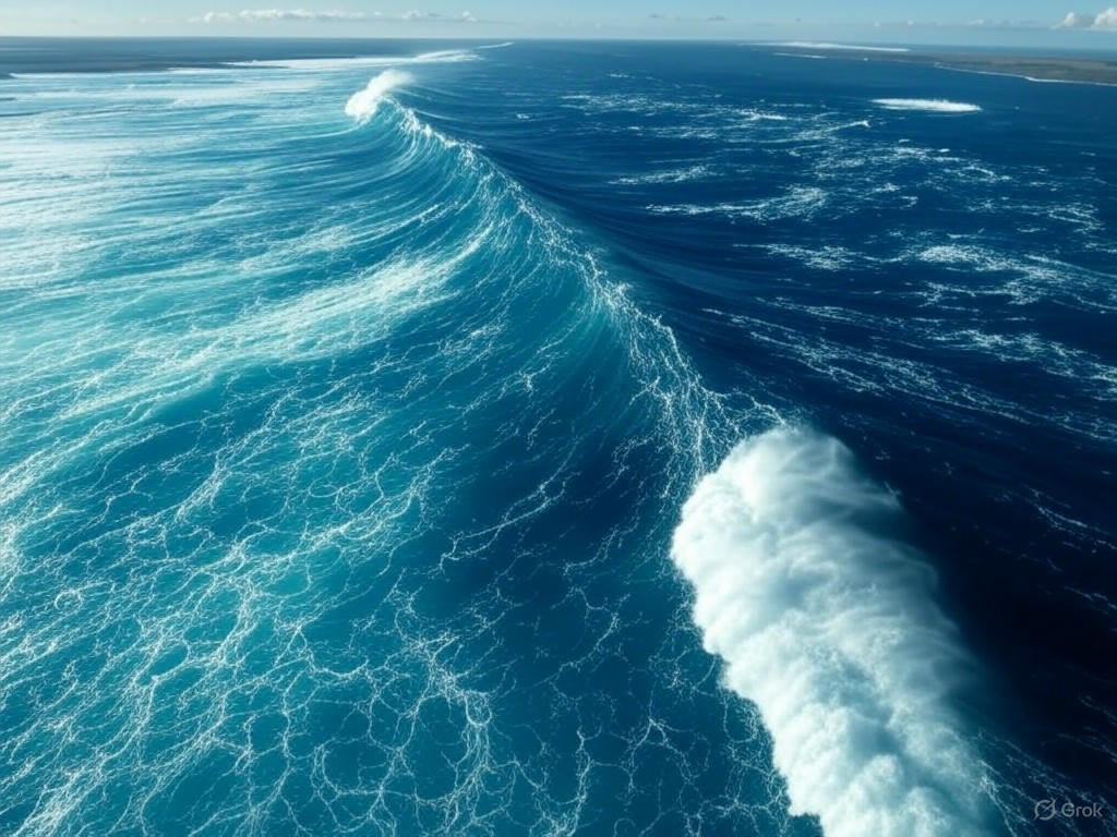
Monumental Mega-Tsunami in Greenland Shakes the Globe: A Satellite’s View
In a breathtaking display of nature’s raw power, a colossal landslide in Greenland’s remote Dickson Fjord unleashed a staggering 650-foot mega-tsunami, sending shockwaves across the planet. This awe-inspiring event, involving the collapse of over 25 million cubic yards of rock and ice, was so immense that it reverberated through the Earth’s crust, alerting scientists worldwide. What makes this phenomenon even more remarkable is the role of modern technology—satellites orbiting high above captured the dramatic upheaval in real-time, offering a rare glimpse into one of the most extreme natural disasters ever recorded.
The incident occurred when a massive section of a glacier and surrounding rock gave way, tumbling into the icy waters of the fjord with catastrophic force. The sheer volume of material displaced created a towering wall of water, reaching heights that dwarfed even the tallest skyscrapers. This surge of energy didn’t just affect the immediate area; it generated seismic waves that rippled through the planet, detected by instruments as far away as Antarctica. Researchers monitoring global seismic activity were stunned by the readings, which underscored the scale of the event. Beyond the ground-shaking impact, the tsunami’s force reshaped the fjord’s landscape, carving new paths through the rugged terrain and leaving a permanent mark on Greenland’s coastline.
What sets this event apart is the unprecedented perspective provided by satellite imagery. High above the Earth, advanced imaging systems documented the landslide and subsequent tsunami as they unfolded, offering scientists a front-row seat to nature’s fury. These images revealed the sheer magnitude of the wave as it surged through the narrow fjord, displacing everything in its path. Experts are now analyzing this data to better understand the mechanics of such mega-tsunamis, which are rare but carry devastating potential. The footage also serves as a stark reminder of the accelerating effects of climate change, as warming temperatures destabilize glaciers and increase the likelihood of such catastrophic collapses. Greenland, a hotspot for glacial melt, has become a critical area of study for predicting future environmental hazards.
As the world processes the implications of this monumental event, the Greenland mega-tsunami stands as both a warning and a call to action. It highlights the urgent need for enhanced monitoring of vulnerable regions, where the interplay of ice, rock, and water can trigger disasters of unimaginable scale. Scientists hope that the insights gained from this event will inform strategies to mitigate risks in similar areas, protecting communities and ecosystems from nature’s unpredictable wrath. Meanwhile, the satellite imagery serves as a powerful testament to human ingenuity, allowing us to witness and learn from the planet’s most extreme moments. This extraordinary occurrence in Dickson Fjord is a humbling reminder of Earth’s untamed power and the delicate balance we must strive to maintain in the face of a changing climate.


