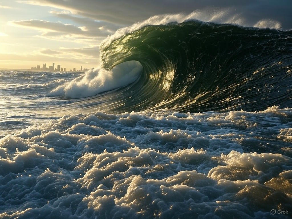
Monumental Mega-Tsunami in Greenland Shakes the Planet
In a staggering display of nature’s raw power, a colossal landslide in Greenland’s remote Dickson Fjord unleashed a towering 650-foot mega-tsunami, sending shockwaves across the globe. This unprecedented event, triggered by the sudden collapse of over 25 million cubic yards of rock and ice, has captured the attention of scientists and environmentalists worldwide. Satellites orbiting high above Earth documented the dramatic spectacle, offering a rare glimpse into the sheer force of such a catastrophe.
The incident occurred when a massive section of a glacier and surrounding rockface gave way, plunging into the icy waters of the fjord with devastating impact. The resulting wave, equivalent in height to a 60-story building, surged through the narrow fjord, displacing water with such intensity that it generated seismic vibrations detectable on instruments thousands of miles away. Researchers monitoring global seismic networks reported unusual readings, initially mistaking the signals for a significant earthquake. Only after cross-referencing satellite imagery and local data did they realize the true cause—a natural disaster of epic proportions.
What makes this event particularly striking is not just its scale, but its implications for understanding climate-driven phenomena. Greenland, a hotspot for glacial retreat due to rising global temperatures, has seen increasing instability in its ice sheets and surrounding landscapes. Experts suggest that warming conditions likely weakened the structural integrity of the rock and ice in Dickson Fjord, setting the stage for this catastrophic collapse. The mega-tsunami serves as a stark reminder of how climate change can amplify the frequency and severity of such events, posing risks to coastal ecosystems and human settlements, even in remote regions.
Beyond the immediate destruction, the wave’s energy rippled far beyond Greenland’s shores. Satellites captured high-resolution images of the churning waters and displaced debris, while oceanographic sensors recorded subtle shifts in sea levels across distant basins. Scientists are now poring over this data to better understand how mega-tsunamis propagate and interact with global ocean systems. Such insights are critical for improving early warning systems and disaster preparedness, especially in vulnerable polar regions where similar events could strike without warning.
As the world grapples with the fallout of this extraordinary natural event, it underscores an urgent need for continued research and international cooperation. The Greenland mega-tsunami is more than a fleeting headline; it is a call to action. By studying these powerful forces, humanity can better anticipate and mitigate the impacts of a warming planet. While the images of a 650-foot wave are awe-inspiring, they also carry a sobering message: nature’s balance is fragile, and our actions today will shape the disasters of tomorrow. This event, etched into scientific records through satellite lenses and seismic charts, will undoubtedly fuel discussions on environmental stewardship for years to come.


